
Waxhaw Neighbors by Public Source
A useful block review begins with sources that answer narrow questions. The county parcel and mapping systems identify property and geography; recorded deeds may explain a legal interest; election information has its own access limits; public town boards document civic roles. None of those sources is an official private roster of Waxhaw neighbors. The table keeps their purposes distinct.
| Source | What It Shows About a Block | Access |
|---|---|---|
| UC Atlas | Parcel outlines, address points, ZIP, polling, zoning, imagery, drainage, and FEMA context | Official county mapping application |
| Union Real Property Search | PID, physical address, displayed owner, legal description, values, sales, and permits when populated | Official public property portal |
| Union Register of Deeds | Named grantor and grantee instruments, book and page, plats, and recorded interests | Online name index, counter, phone, mail, or records request |
| Election records | Public registration and jurisdiction information within statutory limits | State lookup, county office, or written request |
| Town advisory boards | Published public roles, rosters, meetings, agendas, and minutes | Official town civic-resource route |
Start by noting the physical address, PID, source date, and what each result actually says. A property owner can be a trust or entity, a public voter result is a dated registration record, and a board roster shows a public role only. These distinctions prevent a block map from becoming a claim about household identity.
Finding Contiguous Waxhaw Parcels
Union County's parcel-neighbor method is about directly touching PIDs, not the closest mailing addresses. Begin in the county property search with the target address because the Register of Deeds cannot search deeds by street address. Save the PID, legal description, and data timestamp before moving to UC Atlas. Then identify each parcel that shares an edge with the target and compare its own card.
- Search the address in Union Real Property Search and record the target PID, physical address, legal description, displayed owner, and timestamp.
- Open UC Atlas with parcel and address-point layers enabled, then identify PIDs that are directly contiguous with the target parcel.
- Open each adjacent parcel card and compare the owner field, sale date, subdivision or lot detail, and physical address without assuming a shared name is a relationship.
- Search named grantors and grantees in the deed index when a recorded easement, plat, covenant, or shared legal reference needs confirmation.
- Keep postal city and town-limit status separate as the final block context.
This process can be represented as address to PID to contiguous PIDs to parcel cards to deed references. It identifies a record trail for Waxhaw neighbors without creating a list of people.
Mapping a Waxhaw Neighbors Block
UC Atlas supports parcel searches, complex queries, and map or table exports. Its layers include parcel boundaries, address points, ZIP codes, polling sites, zoning, highways, drainage basins, imagery, and FEMA information. Use the parcel and address layers first, then add a layer only when the question calls for it. A zoning or flood layer gives area context, not a conclusion about a person or a recorded boundary.
The county says its GIS is for tax and mapping purposes and does not replace a survey, recorded deed, or legal description. Parcel updates are ongoing and generally reach the online map within about a day; address points are updated daily and zoning generally within a week. FEMA information may be older. Record the access date and imagery vintage when comparing a saved map.
UC Atlas supplies the parcel-layer view for a Waxhaw neighbors review.
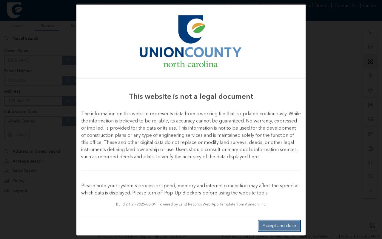
The map can show which parcels touch, while the separate property card and recorded instrument establish the limited facts associated with each PID.
Note: UC Atlas replaced GoMAPS on July 21, 2025, so a retired GoMAPS link should be updated rather than read as a changed boundary.
Waxhaw Neighbors on Parcel Cards
Union Real Property Search is the address-first bridge for a Waxhaw block. The public screen presents Parcel, Address, and Owner fields. A returned card can show a PID, physical address, owners, property use, neighborhood, township, tax district, legal description, acreage, building facts, values, sales details, permits, and selected map layers when the fields are populated.
| Parcel-card field | Careful block use |
|---|---|
| PID and legal description | Anchor the map result to a specific property. |
| Physical address | Compare with USPS and the GIS address point. |
| Owner as displayed | Identify a tax-recorded name or entity, not a current household. |
| Sale book and page | Provide a route to the name-based deed index. |
| Permit table | Offer an address and date lead when populated, not evidence of personal residence. |
Search results cap at 300 and exported results at 500. That technical limit is another reason to work PID by PID instead of treating a broad screen result as a complete Waxhaw neighbors list.
Union Real Property Search shows the address, parcel, and owner entry fields used to begin a block comparison.
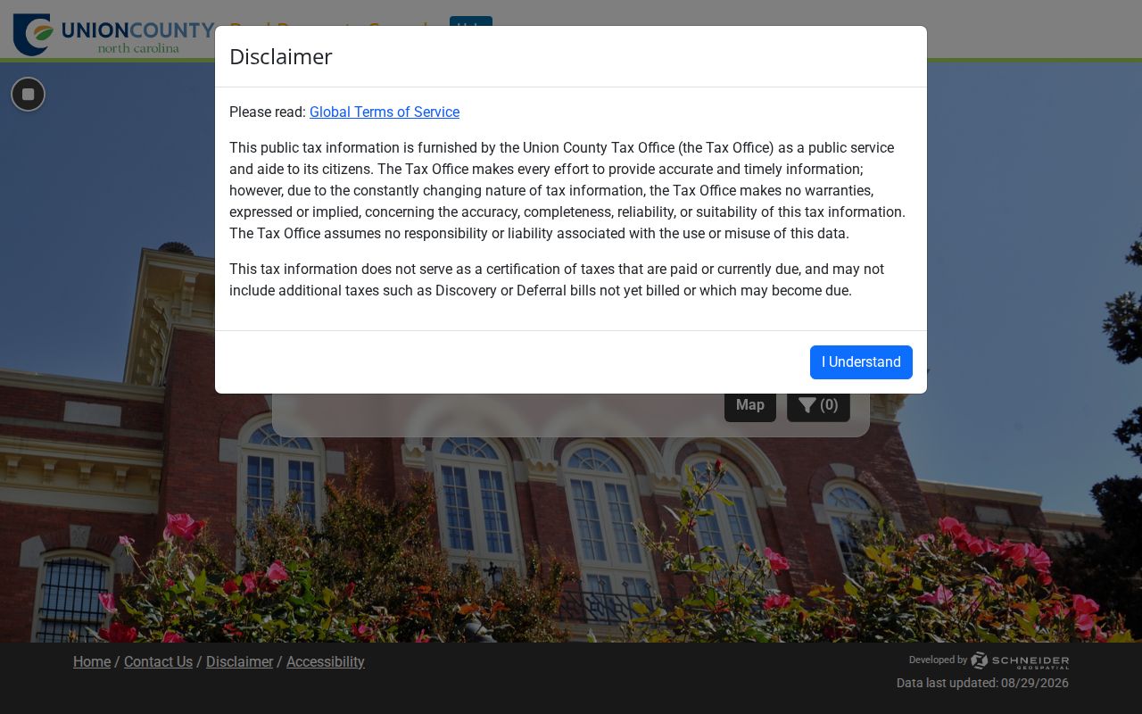
Use the property's PID and source date from this result before comparing it with an adjoining parcel in UC Atlas.
Waxhaw Neighbors and Deed References
The Union County Register of Deeds records deeds, plats, and other land instruments. Its online deed access is name-based, not address-based, and the county says online deed coverage starts in 1973 while maps are available from 1842. Once the parcel card supplies a legal owner name or book and page, search grantor and grantee names and inspect the recorded image for the actual language.
A plat may explain lots or a shared road. An easement, covenant, or common reference must be reported only if the recorded instrument says so. The ROD's office counter, phone, mail, public-record request route, and second-floor covenant or CCR search are alternatives when an online result is unclear. Liens and judgments belong with the Clerk of Superior Court, not the deed index.
The interest here is a record-office split: an address begins with the Assessor, a deed begins with a legal name, and a judgment needs the Clerk. Those separate routes explain why one search rarely resolves a whole block.
Waxhaw Neighbors at Postal Edges
Some Waxhaw neighbors may share a postal city yet have different municipal context. Town Planning warns that a Waxhaw mailing address does not necessarily place a parcel inside town limits. USPS verifies the delivery city and ZIP for the exact address; UC Atlas supplies the parcel and public layers; the town-limit map or MegaMap settles the municipal question. Label postal city, municipality, county, ZIP, and polling jurisdiction separately.
The verified standard Waxhaw delivery ZIP is 28173. Nearby 28112, 28108, and 29720 are regional postal geographies, not Waxhaw delivery ZIPs. County maps and postal labels should not be used to establish a person's town residency or to collapse the block into one jurisdiction.
Note: A current USPS result, parcel timestamp, and historical deed date can all be accurate while describing different dates and systems.
Waxhaw Neighbors and Civic Context
The Town of Waxhaw identifies advisory boards and commissions as the official route for public resident-participation information. Most positions require town residency, terms are generally three years, and the town provides applications, roster, meeting, agenda, and minute context. That is a reliable way to verify a dated public role. It is not a source for a private neighborhood contact list.
| Category | What it can establish | What it cannot establish |
|---|---|---|
| Official parcel, deed, and election records | A dated record field from the responsible public custodian | Every person in a household or a current personal relationship |
| Town advisory-board information | A published civic role, meeting, or appointment | A private association roster or personal contact directory |
| Commercial neighbor-search category | A lead that should be checked against an official record | Reliable proof of identity, address, or household membership |
Downtown Waxhaw Association, Waxhaw Business Association, the town's parks partners, Carolina Thread Trail, and Waxhaw Athletic Association are public organizational umbrellas mentioned by town resources. The research found no official complete residents-association directory or public HOA roster. Use published organization contacts and programs, not private participant lists.
Waxhaw Neighbors in Historic Street Records
Older block evidence is a different record type. Union and Monroe directory volumes from 1922-23 through 1962-63 can contain street names, numbers, names, occupations, and household notation. The 1958-59 Miller's Monroe volume includes criss-cross street material and calls Waxhaw Road a continuation of West Franklin beyond the city limit. This is a useful comparison with the modern parcel map, not a statement about today's town line.
Read the directory key before interpreting an at sign, parenthetical number, honorific, or abbreviation. The symbol can be a printing convention rather than a relationship or ownership code. For an older address, preserve the year, page, exact text, and image or PDF reference, then confirm a land or court fact through the appropriate custodian.
For material that does not appear in a digitized directory, use the Union County Library's Dickerson Room for newspapers, Sanborn maps, photographs, and obituary help; contact the Museum of the Waxhaws for local-history context; or make a targeted request to the NC State Archives. Those routes can supply a dated historical lead, but the street page, key, image, and custodian still determine what the record proves.
Waxhaw Neighbor Lookup Privacy
Public access has firm boundaries. North Carolina voter records exclude full and partial Social Security numbers, dates of birth, driver-license numbers, and protected fields. The NC Department of Justice Address Confidentiality Program gives eligible survivors a substitute address for specified public interactions. Sealed court material, restricted vital fields, protected complainant information, and sensitive addresses are not block-search fields.
Lawful use. Use Waxhaw neighbors records for a specific personal, civic, or property question. Do not use a parcel, voter, or civic result to stalk, harass, intimidate, impersonate, or expose a protected person.
For a record that is not online, direct a narrow request to the custodian under North Carolina's public-records rules. Identify the record type, date range, parcel or case identifier, preferred format, and need for a fee estimate. The custodian need not create a new record, and a public-looking name match must not be treated as identity proof.