
Walk a Waxhaw Street Directory Trail
Start with an address that can be checked as a delivery address, not a name alone. The sequence is postal result, parcel card, map context, municipal boundary, deed name chain, and then permit history. That order keeps a mailing label, a parcel, and a recorded instrument from being treated as the same kind of evidence. It also gives each search a stable note: the address used, the parcel ID, the date checked, and the source that supplied the result.
- Use the USPS location and ZIP tools to confirm the delivery city and ZIP for the address. Keep that result separate from municipal jurisdiction.
- Search the address in Union Real Property Search. Record the physical address, owner shown, legal description, and parcel ID, also called a PID.
- Open the PID in UC Atlas. Turn on parcel, address-point, ZIP, polling, zoning, or FEMA layers only when each layer answers the question at hand.
- Check the town-limit map or Waxhaw MegaMap before calling the parcel a town address. A Waxhaw postal label is not proof that the parcel lies within town limits.
- Take the owner or grantor/grantee name to the Union deed imaging index, then use the appropriate town or county permit portal for an address-history lead.
The path stops when its records stop. The tax owner may be an entity or may lag a transfer. A permit is a project record, not proof of an occupant. A public voter entry concerns registration and jurisdiction, not title. The strongest street-by-street notes identify the source, field, date, and limitation for each item.
Search Fields for Waxhaw Addresses
Union Real Property Search is the address-first bridge for a Waxhaw address search. Its public landing page offers optional Parcel, Address, and Owner fields in that order. A result can show the physical address, market value, parcel ID, and owners. The property card can also surface land, building, assessment, sale, and permit fields when the parcel has those entries. Begin with Address because the county deed index is name-based rather than street-address based.
| Spatialest field | Input type | Required | Search use |
|---|---|---|---|
| Parcel | Text with suggestions | No | Returns a known parcel number or PID. |
| Address | Text with suggestions | No | Starts with the physical street address. |
| Owner | Text with suggestions | No | Checks the legal name displayed on a parcel card. |
The application reports an apparent 300-result cap, four suggestions, and an Excel export limit of 500. Those limits are a reason to narrow an ordinary road name with a number or parcel. Use the displayed timestamp as part of the record note. The card is a tax and property interface, not a survey or a current household list.
See the Union Real Property Search interface before entering an address.
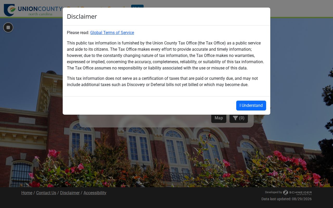
The Parcel, Address, and Owner choices show why the PID should be saved before moving to deeds or maps. A property-card search is most useful when it produces a PID that can be recorded with the exact displayed address.
Map Waxhaw Streets by Parcel
UC Atlas provides the location layer for address research in Waxhaw. It supports parcel searches, complex queries, table or map exports, and layers for highways, drainage basins, libraries, ZIP codes, polling sites, zoning, imagery, address points, and FEMA. The useful comparison is between contiguous parcel IDs and the road frontage, not simply nearby mailing labels. County GIS says parcels are updated continuously and generally appear online within about one day, while address points update daily and zoning normally within about a week.
Use a map result to orient the parcel, then return to recorded material for a legal description or boundary conclusion. The county identifies GIS products as tax and mapping tools, not surveys or legal land descriptions. February 2025 orthophotography and the ongoing update cycles mean a saved image needs its layer and access date noted.
The UC Atlas map is the official replacement for GoMAPS, retired by its third-party developer before UC Atlas launched in July 2025.
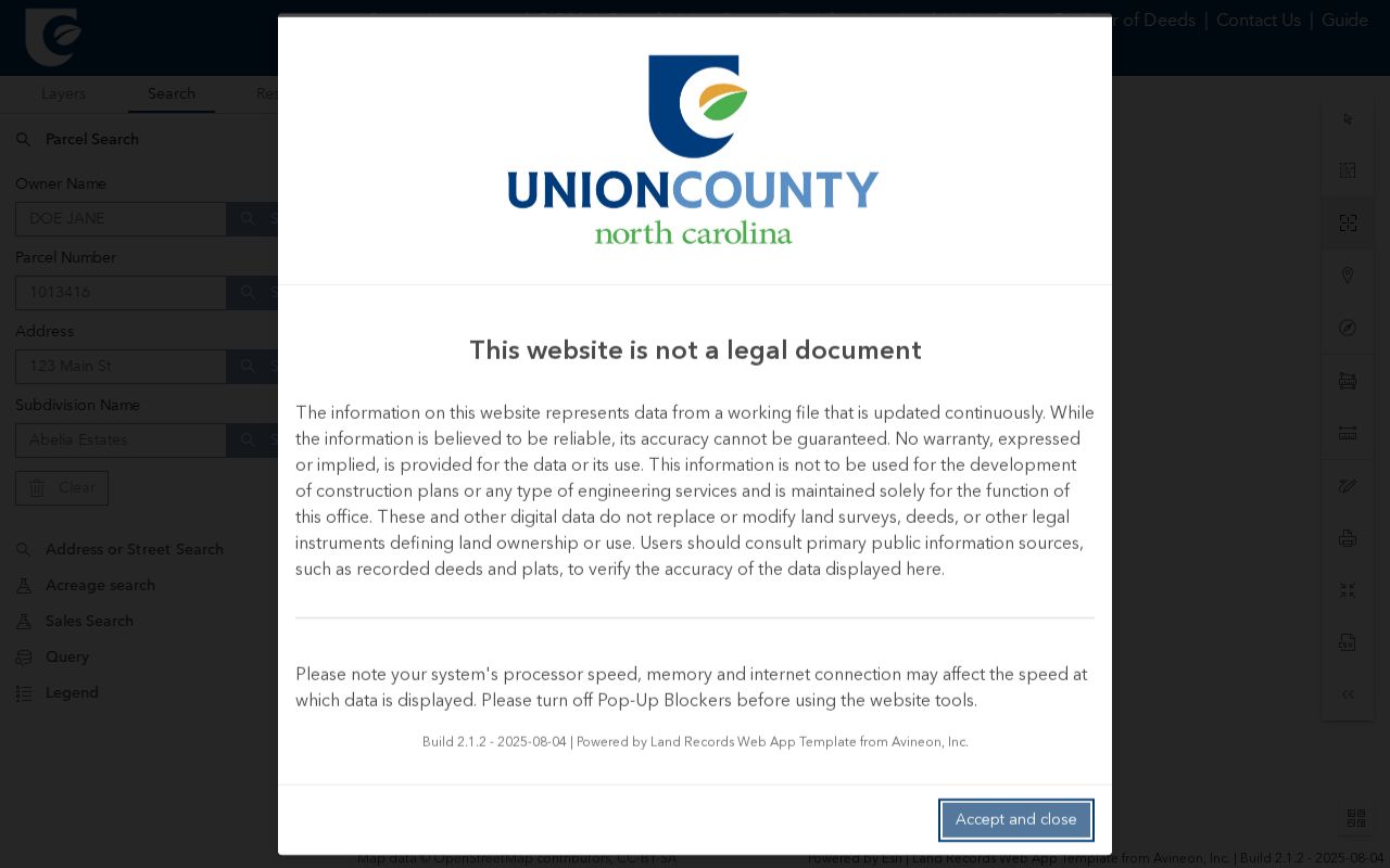
The parcel display helps keep an address search tied to a specific PID while ZIP, zoning, and polling layers remain separate checks. It also helps identify whether two records point to the same parcel instead of merely the same road.
Waxhaw Street Labels and Limits
An address record must distinguish three geographies: a USPS delivery city, the Town of Waxhaw municipal boundary, and Union County service records. Town planning explicitly warns that a Waxhaw mailing address does not necessarily place a parcel inside town limits. Check the parcel against current town mapping before describing a record as municipal. Postal and municipal labels can change at different times, so older records should retain the label printed in the original source.
This difference matters most near an edge address. USPS can confirm deliverability and ZIP, the Assessor and GIS connect the physical address to a PID, and Planning or MegaMap confirms current municipal context. The Register of Deeds holds the recorded legal description. Preserving all four avoids turning a familiar mailing name into a jurisdiction claim.
- Parcel or PID
- The county identifier that ties a property card and map entry to the same land record.
- Situs address
- The physical address assigned to a parcel. It can differ from a mailing address.
- Plat
- A recorded map that can show lots, roads, easements, and subdivision layout.
- Criss-cross directory
- A historical directory arranged by street and number instead of only by name.
Note: Record the USPS result date, GIS timestamp, and deed or permit date separately because an address can be current in one source and historical in another.
Waxhaw Street Directory Record Paths
Address-keyed records answer different questions along a Waxhaw street. The county property card ties a physical address to a PID and owner field. UC Atlas places it in parcel and jurisdiction context. The Register of Deeds connects the legal name to recorded instruments. Town and county permit systems may show published project details by address. Voter files are accessed through statutory channels and do not establish property ownership or a complete residence history.
| Address record | Custodian | What it can show | Access channel |
|---|---|---|---|
| Property card | Union Tax Administration | PID, physical address, owner, land, assessment, sales and permits when populated | Spatialest, Assessor counter, phone, mail, request |
| Parcel map | Union GIS | Parcel boundaries, address points, ZIP, polling, zoning, imagery, FEMA | UC Atlas, GIS counter, email or custom-map help |
| Deed and plat index | Union Register of Deeds | Grantors, grantees, instrument, book, page, and recorded interests | Online name index, counter, phone, mail, request |
| Permit record | Waxhaw or Union inspections | Published address, date, type, inspection or status details | Public portal, counter, phone, email, mailed materials |
| Voter record | Union Board of Elections | Public registration and jurisdiction fields allowed by law | NCSBE search, Board counter, phone, email, written request |
Tax Administration keeps permanent real-estate listing from January 1, 1987, and lists improvements and personal property annually. The exact field date matters. Use 704-283-3746 for Assessor questions, and use the listed office route rather than treating a property card as a final title opinion.
Waxhaw Addresses to Deed Names
The Union Register of Deeds records deeds, plats, and related real-estate instruments, but its online deed search is name-based. That split is a useful quirk in an address search: the county says address searching belongs with the Assessor, while deeds must be reached through a legal name, book, page, or instrument path. Start with the PID and property-card owner, then compare the sales-history document number, book, page, grantor, and grantee before opening an image.
A grantee is the party receiving an interest, and a grantor is the party conveying it. Those roles can lead backward through an instrument chain, but a name match still needs the right legal description and date. Liens and judgments are Clerk of Superior Court records, not part of the online deed index. Recorded covenants and CCRs may require the Register of Deeds office’s second-floor search.
Open the official Union deed imaging search after collecting the name and recording reference.
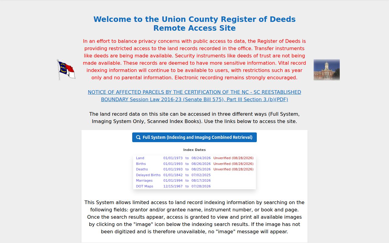
The address-first parcel step supplies the name-based deed search with a more reliable starting point. Save the instrument reference even when an image needs a later counter or records-request follow-up.
Waxhaw Street Permits by Address
The Waxhaw public permit portal allows public searching without login by permit number, address, or date. Published types include building, electrical, mechanical, plumbing, demolition, floodplain, solar, zoning-compliance, fire, and other municipal categories. A result is an address-history lead. It should be confirmed with Town staff because some applications and account functions require login, and complaint material can have protected information.
Inspection requests before 4 p.m. are targeted for the next business day; requests after 4 p.m. target the second business day. A specific date may be requested, and a cancellation can create a reinspection fee. These procedures explain an official record’s timing, not the status of a person associated with an address. Waxhaw Building Inspections and Code Enforcement lists 704-843-2195, email at inspections@waxhaw.com, and a mailed-permit route through Town Hall, Attn: Permitting, PO Box 6, 4218 Waxhaw Marvin Rd, Waxhaw NC 28173.
The county’s Evolve Public search is distinct from Waxhaw’s EnerGov portal.
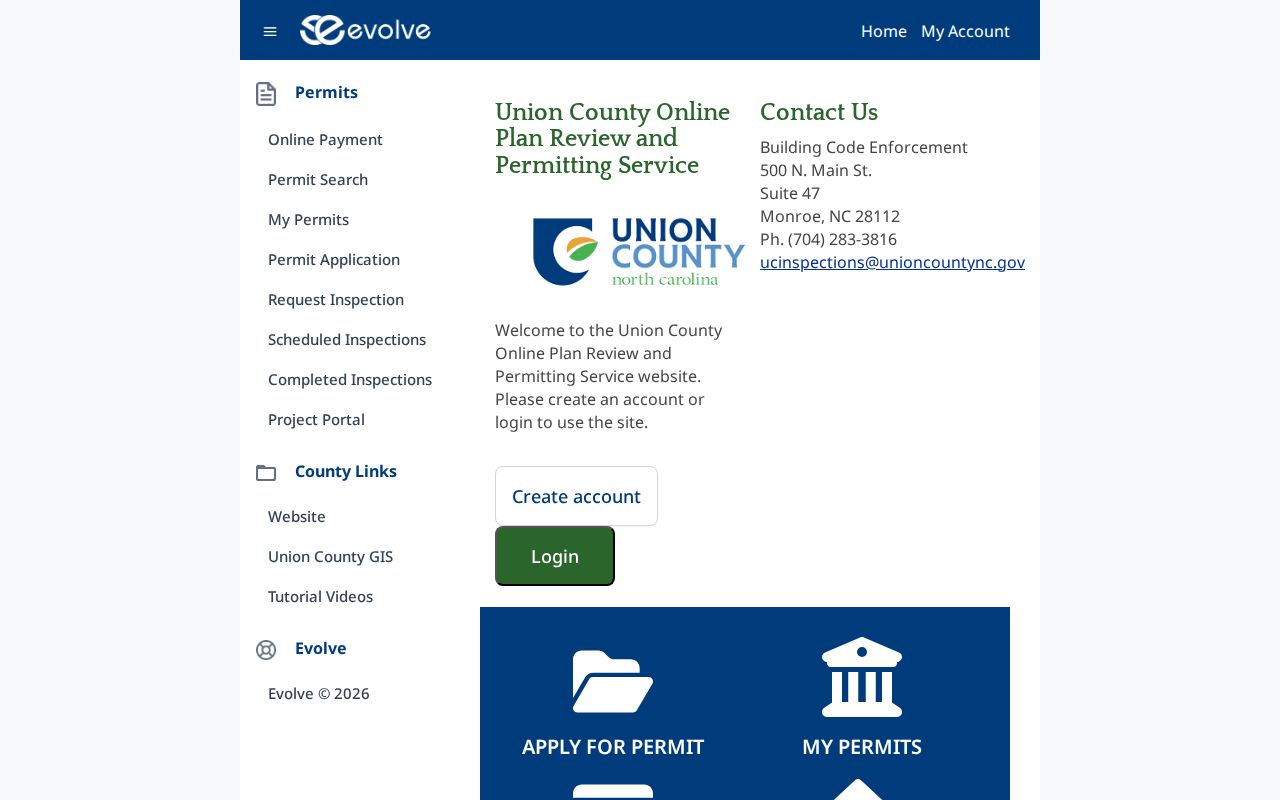
Compare the jurisdiction before relying on an address result, since town and county permit routes are not interchangeable. The portal name, address, record type, and date should accompany any note made from the result.
Note: Verify unexpected permit invoices through a published town or county contact because Union County warns about fake invoices.
Waxhaw Street Codes Explained
Historical street material can extend a current address trail without pretending to be a modern resident roll. The verified 1958–59 Miller’s Monroe volume contains Waxhaw Road criss-cross material and labels Waxhaw Road as a continuation of W Franklin beyond the city limit. That is a location clue, not a current boundary. The same street pages can show a house number, occupant name, honorific or occupation abbreviation, continuation note, cross-reference mark, and parenthetical codes.
The comparison between the 1922–23 Monroe and Union directory and the 1958–59 criss-cross volume shows a shift from household-style entries to street-oriented identification. Symbols such as @ and parenthetical numbers must be checked against that volume’s key. They do not prove ownership or a family relationship on their own. The historical collections themselves are available through the Waxhaw city directory resources and the Union County Library.
Waxhaw Street Directory Map Update
UC Atlas launched on July 21, 2025, replacing GoMAPS after the earlier third-party platform was retired in 2024. The county retained parcel, report, map, and analysis functions in the replacement. A saved GoMAPS link that now fails does not by itself show that a street, parcel, or boundary changed. Begin again in the current UC Atlas application and note the layer, imagery, and access date used for the result.
The current map can separate parcel and address-point context from ZIP, polling, zoning, imagery, and FEMA layers. Those layers answer different questions and may update on different schedules. GIS remains a tax and mapping product, not a survey or legal land description, so use the recorded deed, plat, or survey for a legal boundary conclusion. The county’s UC Atlas launch notice documents the platform change.
Limits of a Waxhaw Street Directory
An address record can document a parcel, a recorded party, a dated directory entry, or a voter registration field released by law. It cannot turn those entries into a verified list of everyone at an address. A parcel owner, a voter, a directory entry, a permit applicant, and a business principal can be different people at different dates. DMV personal data is not a general public lookup, and protected voter, vital, court, and complaint fields should remain protected.
When the web path fails, use the channel that holds the record: the Assessor, GIS, Register of Deeds, Board of Elections, or town counter; the listed office phone or email; a defined Chapter 132 request; ROD or tax mail routes; the Dickerson Genealogy & Local History Room for directory or obituary leads; and the NC State Archives for older county series. A request should name the custodian, record type, date range, person or parcel identifier, desired format, and a fee estimate for extensive work.
Lawful use. Use address records for careful personal, family-history, estate, civic, or property research. Do not use public entries to expose a protected address, stalk, harass, impersonate, or threaten anyone.